

 https://doi.org/10.31261/rias.16245
Desde la primera mitad del siglo XVI el río Amazonas empezó a ser representado cartográficamente, en principio por el avistamiento de sus bocas y posteriormente por los recorridos que se emprendieron. El primero de estos supuso su azaroso descubrimiento en 1542 por una expedición española que partió de Quito y llegó hasta el Atlántico. Un siglo más tarde, los portugueses invirtieron el sentido y remontaron el gran río desde la desembocadura hasta los Andes. Estos recorridos estuvieron acompañados por cronistas cuyas informaciones y registros sirvieron como fuente de inspiración para las descripciones europeas del Nuevo Mundo. Se pretende entonces mostrar la evolución de los imaginarios y las representaciones de la Amazonia desde la experiencia de tres viajeros que atravesaron el océano entre los siglos XVI y XVII, pero además fueron cartógrafos que legaron mapas recurrentes en atlas, compendios y trabajos historiográficos sobre la región que probablemente más haya despertado la curiosidad y también la imaginación en América. Desde el bosquejo de una desembocadura en el Atlántico hasta una vista aérea del curso del río, pasando por una figura serpenteante, se presentan tres representaciones cartográficas del Amazonas como productos de la experiencia de viaje, que evidencia diferentes formas de acercarse y percibir la realidad, junto con la imaginación geográfica, mezcla de ideas fantásticas, ideales y míticas con saberes prácticos en relación con el reconocimiento del territorio.
[Since the first half of the 16th century, the Amazon River began to be cartographically represented, initially through the sighting of its mouths and later by expeditions undertaken along its course. The first of these marked its perilous discovery in 1542 by a Spanish expedition that set out from Quito and reached the Atlantic. A century later, the Portuguese reversed the route, ascending the great river from its mouth to the Andes. These journeys were accompanied by chroniclers whose information and records served as sources of inspiration for European descriptions of the New World. This study aims to illustrate the evolution of imaginaries and representations of the Amazon from the experiences of three travelers who crossed the ocean between the 16th and 17th centuries. These individuals were also cartographers who contributed maps frequently included in atlases, compendiums, and historiographical works on the region, which likely sparked the most curiosity and also the imagination in America. From the sketch of a mouth at the Atlantic to an aerial view of the river's course, through a serpentine figure, three cartographic representations of the Amazon are presented as products of the travel experience. These depictions reveal different ways of approaching and perceiving reality, along with geographical imagination, a blend of fantastic, ideal, and mythical ideas with practical knowledge related to the recognition of the territory.]
Download files
Citation rules
Cited by / Share


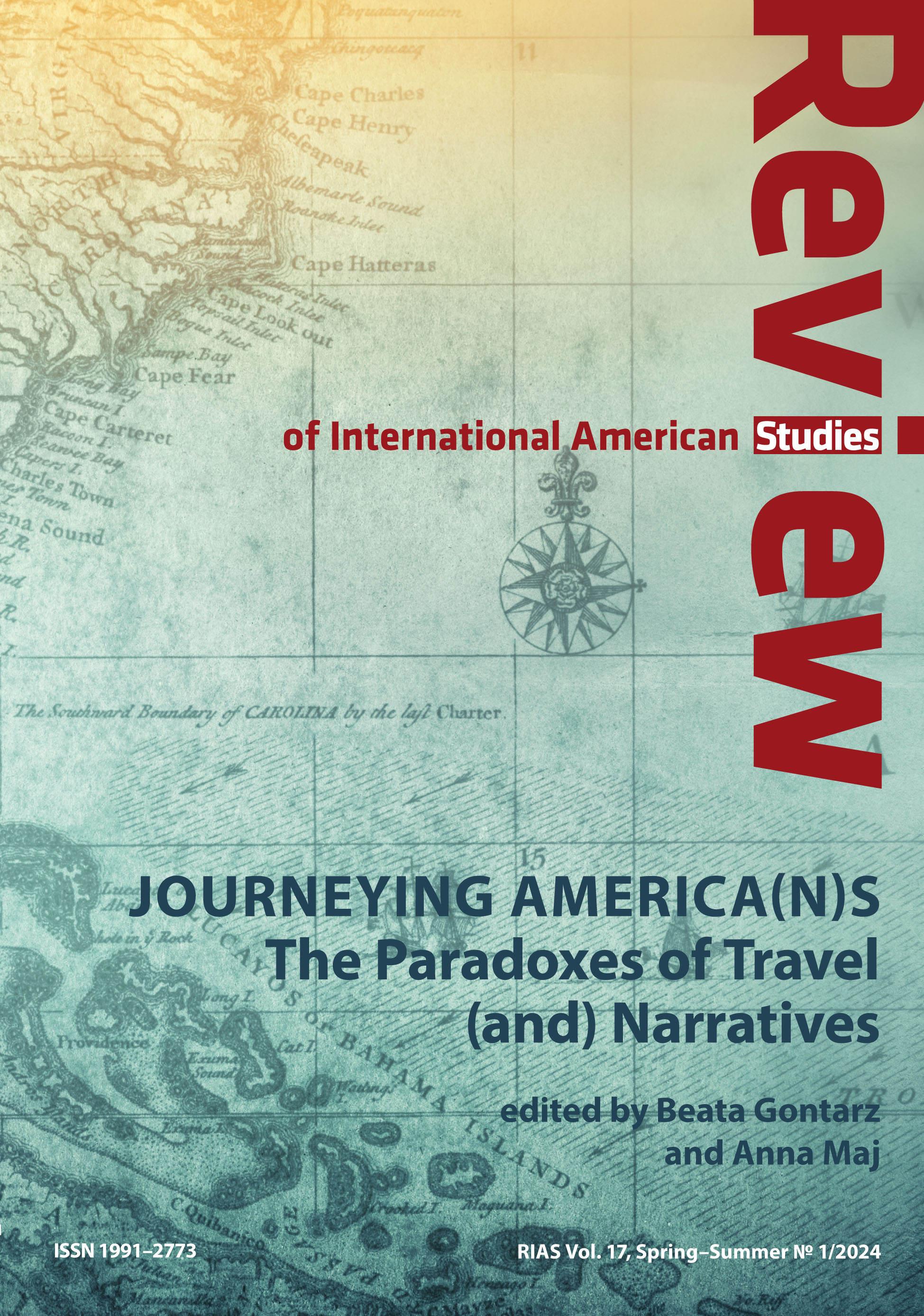
Vol. 17 No. 1 (2024)
Published: 2024-09-10
10.31261/RIAS
 English